15 Best Beginner Backpacking Trails in Washington
We’re huge fans of removing barriers to trying new things — and figuring out where and how you can backpack in the Pacific Northwest is a huge one.
We’ve compiled our 15 favorite beginner-friendly backpacking trips in Washington below. If you’re ready to choose your first backpacking trip — read on!
If you have questions about gear, packing, safety tips or anything else you need to be considering when choosing a trail, check out this beginner’s guide to backpacking post here.
Parking passes
Most trails in Washington require you to hang a parking pass on your windshield. There are three different passes and some overlap in coverage. Each vehicle that you have parked at a trailhead will need a pass. Most trailheads don’t have places to purchase passes, so get them beforehand at ranger stations, your local REI, or online.
-
The Discover Pass covers all of Washington’s state parks. They’re $12 for a day pass or $35 for the annual pass. This is the only pass that covers state parks.
-
The America the Beautiful Pass covers parking in all U.S. national parks, but also national forest land in Oregon and Washington as well. This is the pass we use most often because it covers such a broad range of areas. It costs $80 for an annual pass.
You can also buy national park passes specific to the national park you’ll be visiting. This costs $30 for a seven-day pass or $55 for an annual pass, per park. These passes don’t provide national forest coverage, and since there are three national parks in Washington, the America the Beautiful Pass is a great investment.
-
The National Forest Pass is $10 for a day pass or $30 for the annual pass. They’re valid in Washington and Oregon and are required for so many hikes. If you plan on buying an America the Beautiful Pass, it covers national forest land too, so you don’t need both.
Backcountry permits
Many locations in Washington require a backcountry permit to camp — specifically in the national parks. Each area has different permit seasons and various dates when permits go on sale. This blog explains everything you need to know about each permitted region in Washington.
Know what area you’d like to backpack in? Click below to skip to a section.
Olympic National park
Shi Shi Beach
This was our first backpacking trip, and we highly recommend it. Parking at the trailhead is limited to day hikers, so backpackers are encouraged to park at a nearby private home, paying $10 per day, in cash (directions in the Washington Trail Association’s “Getting There” section) and walk to the trailhead from there.
The hike to the beach is beautiful. You’ll walk across boardwalks and through muddy forest trails until you lose 200 feet of elevation on stairs down the cliffside.
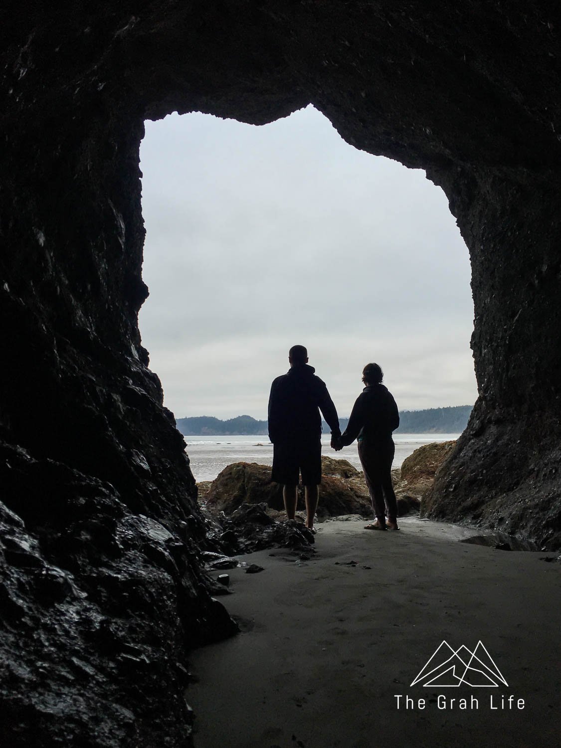
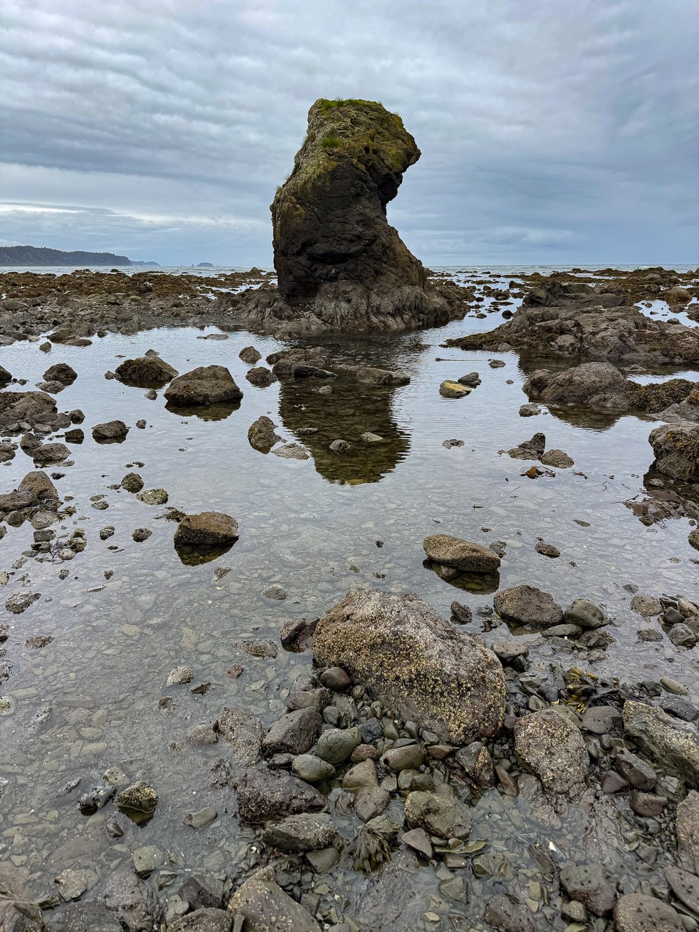
Once at the beach, head to the left and hike as far as you’d like, up until the Point of Arches (the sea stacks in the distance). You’ll find campsites lining the forest near the beach or can camp on the beach itself. Just be sure to camp well above the high tide mark. Explore the Point of Arches at low tide to find tide pools and interesting rock formations.
Trail description: Washington Trails/Alltrails
Distance: 8 miles roundtrip
Elevation gain: 200 feet
Best season: April to October, although it’s accessible year-round
Parking Pass needed: Makah Pass
Backcountry permits: A permit is required, but there are no limits on the number of reservations. Reserve yours here. Click on the “North Coast” section and find Shi Shi Beach.
Dogs allowed on a leash: No
Food storage: A bear canister is required. Beware of raccoons and crows here!
Water source: There are two creeks that feed into the ocean from the hillside. Petroleum Creek is about one mile from where the trail connects with the beach and Willoughby Creek (seasonal flow) is about two miles away, closer to the Point of Arches. The water on this hike has to be boiled or filtered (iodine tablets won’t work here) and it will look tan even after being filtered (but it is safe to drink!).
Campsites: The campsites in the trees are marked with a single orange marker or buoys that can be seen from the beach. You can also camp anywhere on the beach above the high tide line. We recommend choosing a site near Petroleum Creek for easy water access, but the further down the beach you go, the less crowded it will be.
Toilets: There are three pit toilets along the trail (as well as the trailhead). The first and most exposed is in the forest where the trail meets the beach. The second is on the south side of Petroleum Creek and the last is on the north side of Willoughby Creek.
Campfire information: Campfires are allowed in fire rings and on the beach below the tide line, so long as no fire restrictions are in place. You can burn driftwood, but not branches in the forest as they are part of the ecosystem. You’ll find more driftwood closer to the Point of Arches than at the beginning of the beach.
Second Beach
Like Shi Shi Beach, Second Beach is a smaller sandy beach with large sea stacks which are great for tide pooling. The trail is shorter with more ups, downs, switchbacks, and there are logs on the beach you’ll have to maneuver around to reach the beach.
It’s a popular spot, so don’t expect solitude, but if you wander south, you’ll find fewer people – and that’s where the best tide pools are. Do check when the tide will be coming in so you don’t get stuck near Teahwhit Head or Quateata Head (both are impassable, even at low tide), and make sure to camp well above the high tideline.
Trail description: Washington Trails/Alltrails
Distance: 4 miles roundtrip
Elevation gain: 310 feet
Best season: April to October, although it’s accessible year-round
Parking Pass needed: None
Backcountry permits: Reserve your permit here. Click on the “South Coast” section and find Second Beach.
Dogs allowed on a leash: No
Food storage: A bear canister is required.
Water source: There are two streams, and water here must be boiled or filtered to drink (iodine tablets won’t work here). The water will have a tan color, even after filtering, but it’s safe to drink.
Campsites: There are a few forested sites, so most camping is done on the beach, and it can get crowded during the summer.
Toilets: There is a porta potty at the trailhead and a pit toilet where the trail meets the beach.
Campfire information: Campfires are on the beach below the tide line, so long as no fire restrictions are in place. You can burn driftwood, but not branches in the forest as they are part of the ecosystem.
Ozette Triangle
This is a fun place to backpack because this could easily be a one- to three-day trip where you move your campsite each day.
Time your hike with low tide for the easiest passage (it needs to be at five feet or less to get around Wedding Rocks), otherwise you’ll need to use the overland trails marked with red and black circular markers.
Wedding Rocks are the biggest attraction here — there are more than 40 petroglyphs here. They are between 300 and 500 years old and were made by the inhabitants of the Ozette Village at Cape Alva. Look for depictions of faces, sea creatures, and boats!
Check out this blog to read about our experience here, along with insight on trail and camp details.
Trail description: Washington Trails/Alltrails
Distance: 6-9.4 miles roundtrip
Elevation gain: 100 feet
Best season: April to October, although it’s accessible year-round
Parking Pass needed: America the Beautiful or the Olympic National Park Pass
Backcountry permits: Reserve your permit here. Click on the “North Coast” section and select the area you plan on camping in.
Dogs allowed on a leash: No
Food storage: A bear canister is required.
Campsites: The primary destinations are Sand Point and Cape Alva. You’ll find campsites in the forests marked by buoys and up steep paths. Do not camp North of Cape Alva or climb on Tskawahyah Island as it’s sacred to the Makah people.
Water source: There are creeks at Sand Point and Cape Alva. The water here must be boiled or filtered to drink (iodine tablets won’t work here). The water will have a tan color, even after filtering, but it’s safe to drink.
Toilets: There are pit toilets at Sand Point and Cape Alva.
Campfire information: Fires are prohibited south of Wedding Rocks to Yellow Banks, otherwise burn if there is no fire ban, you can burn driftwood.
Whale petroglyphs at Wedding Rocks
Hoh River Trail to Five Mile Island
Starting at the infamous Hall of Mosses trail, you’ll be in the rainforest for the duration of this trail. It follows the Hoh River, and wildlife sightings are frequent. There are three possible campsites along this route: at Tom Creek, Five Mile Island, or Happy Four.
Each campsite has its own amenities. Tom Creek has bear wire to hang your food and is the first campsite you’ll reach at just three miles into the trail. Five Mile Island has a pit toilet and is five and a half miles in, while Happy Four is six miles into the trail equipped with bear wire and a shelter that you can camp under (first come first serve).
Do note that there is a stream crossing near mile 8.
Trail description: Washington Trails/Alltrails
Distance: 5.8-12.3 miles roundtrip
Elevation gain: 300 feet
Best season: Late June to September
Parking Pass needed: America the Beautiful or the Olympic National Park Pass
Backcountry permits: Reserve your permit here. Click on the “Hoh” section and select the area you plan on camping.
Dogs allowed on a leash: No
Food storage: A bear canister is required, unless you camp at Tom Creek or Happy Four where there are bear wires available.
Campsites: Camp on gravel bars on the Hoh River, or in preexisting sites.
Water source: You’ll have easy access to the Hoh River and side streams.
Toilets: There are pit toilets at Five Mile Island.
Campfire information: Campfires made of dead and downed wood are allowed below Martin Creek (at Tom Creek, Five Mile Island, and Happy Four), but leave no trace of fire when you leave.
Enchanted valley
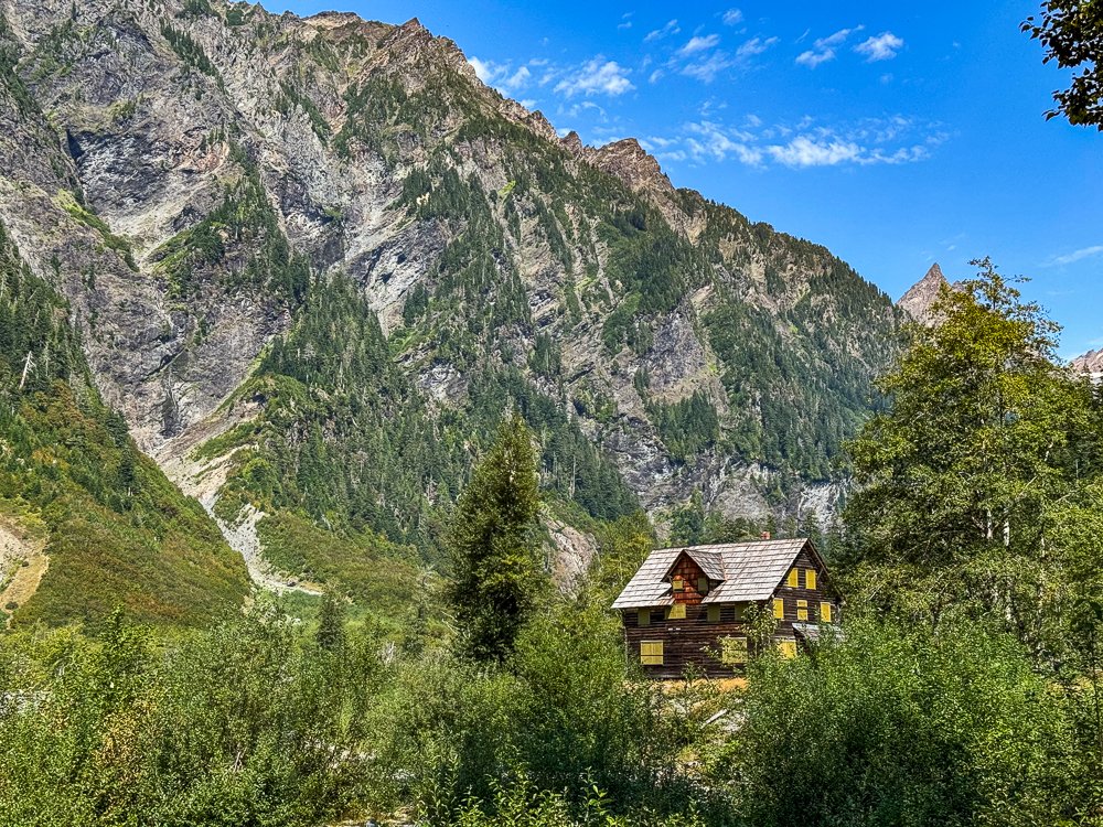
This trail is a great option if you’re feeling confident and want the option to extend your trip and camp at multiple sites. Wildlife is known to be active in this area, so refresh yourself on bear awareness here. On the trail, you’ll pass by old-growth rainforest, waterfalls, a historic chalet, and mountains — just about everything you could hope for in one trip!
Trail description: Washington Trails/Alltrails
Distance: 5-27.8 miles roundtrip
Elevation gain: 500-1,700 feet
Best season: May to September
Parking Pass needed: None
Backcountry permits: Reserve your permit here. Click on the “Quinault” section and select the area you plan on camping in.
Dogs allowed on a leash: No
Food storage: Bear canisters are required unless camping and using the bear wire at O’Neil Creek or Pyrties Creek.
Campsites: Pony Bridge, located 2.5 miles into the trail has 3 campsites, 4.4 miles after that you’ll reach O’Neil Creek with 6 campsites, with another 3 miles to Pyrites Creek with 6 more campsites, and 3.2 miles further to Enchanted Valley. Read about the trails between sites here.
Water source: The trail follows the East Fork Quinault River. You’ll have easy access to water at each campsite.
Toilets: There are pit toilets at Pony Bridge, O’Neil Creek, and Enchanted Valley.
Campfire information: Campfires are permitted in preexisting fire rings if there isn’t a fire ban.
Lower Lena Lake
Just over an hour outside Olympia, Lena Lake is a popular spot to hike and backpack. If you’ll be camping here on a weekend, come early to get a spot. While you’re there, spend your free time hiking to Upper Lena Lake (dogs are not allowed there), or hammock by the lakeside.
Trail description: Washington Trails/Alltrails
Distance: 7.2 miles roundtrip
Elevation gain: 1,300 feet
Best season: May to October
Parking Pass needed: Northwest Forest Pass or the America the Beautiful Pass
Backcountry permits: No permits are needed.
Dogs allowed on a leash: Yes
Food storage: Bring a bear vault or hang your food.
Campsites: There are campsites around the lake.
Water source: Lower Lena Lake and the surrounding streams will be your water source.
Toilets: There are no toilets at the lake.
Campfire information: Campfires are allowed unless there is a burn ban.
Central Cascades
Barclay Lakes
Since this trail is only 90 minutes from Seattle it’s very popular. Consider camping here on a weekday. During your free time, fish for rainbow trout, or hike one of the more strenuous trails to Stone or Eagle Lake.
Trail description: Washington Trails/Alltrails
Distance: 4.4 miles roundtrip
Elevation gain: 500 feet
Best season: April to October
Parking Pass needed: Northwest Forest Pass or the America the Beautiful
Backcountry permits: No permit needed.
Dogs allowed on a leash: Yes
Food storage: Use a bear vault or hang your food.
Campsites: Camp in an established site, at least 50 feet from the water’s edge.
Water source: You’ll have Barclay Creek and Barclay Lake for water sources.
Toilets: There is a porta-potty at the trailhead.
Campfire information: Campfires are allowed unless there is a burn ban.
North Cascades
Baker lake trail
Find the best views with the option to camp early on at Anderson Point or keep going to Maple Grove Camp. Be aware of increased bear activity, and snakes along and near the trail, and don’t expect solitude unless you go past Maple Grove Camp. The campsites fill up quickly, so get here early to snag a spot. Since the trail is nice and shady, this makes an excellent spot to camp in the summer.
Trail description: Washington Trails/Alltrails
Distance: 3.6-8 miles roundtrip
Elevation gain: 500 feet
Best season: April to November
Parking Pass needed: Northwest Forest Pass or the America the Beautiful
Backcountry permits: No permit necessary.
Dogs allowed on a leash: Yes
Food storage: Use a bear vault or hang your food.
Campsites: There are multiple campsites along the trail, specifically at Anderson Point and Maple Grove Camp.
Water source: Since the trail follows the lakeshore, you’ll have easy access to water wherever you choose to camp.
Toilets: There are pit toilets at the Maple Grove Camp
Campfire information: Campfires are allowed in preexisting fire pits, unless there is a fire ban.
Chain Lakes Loop
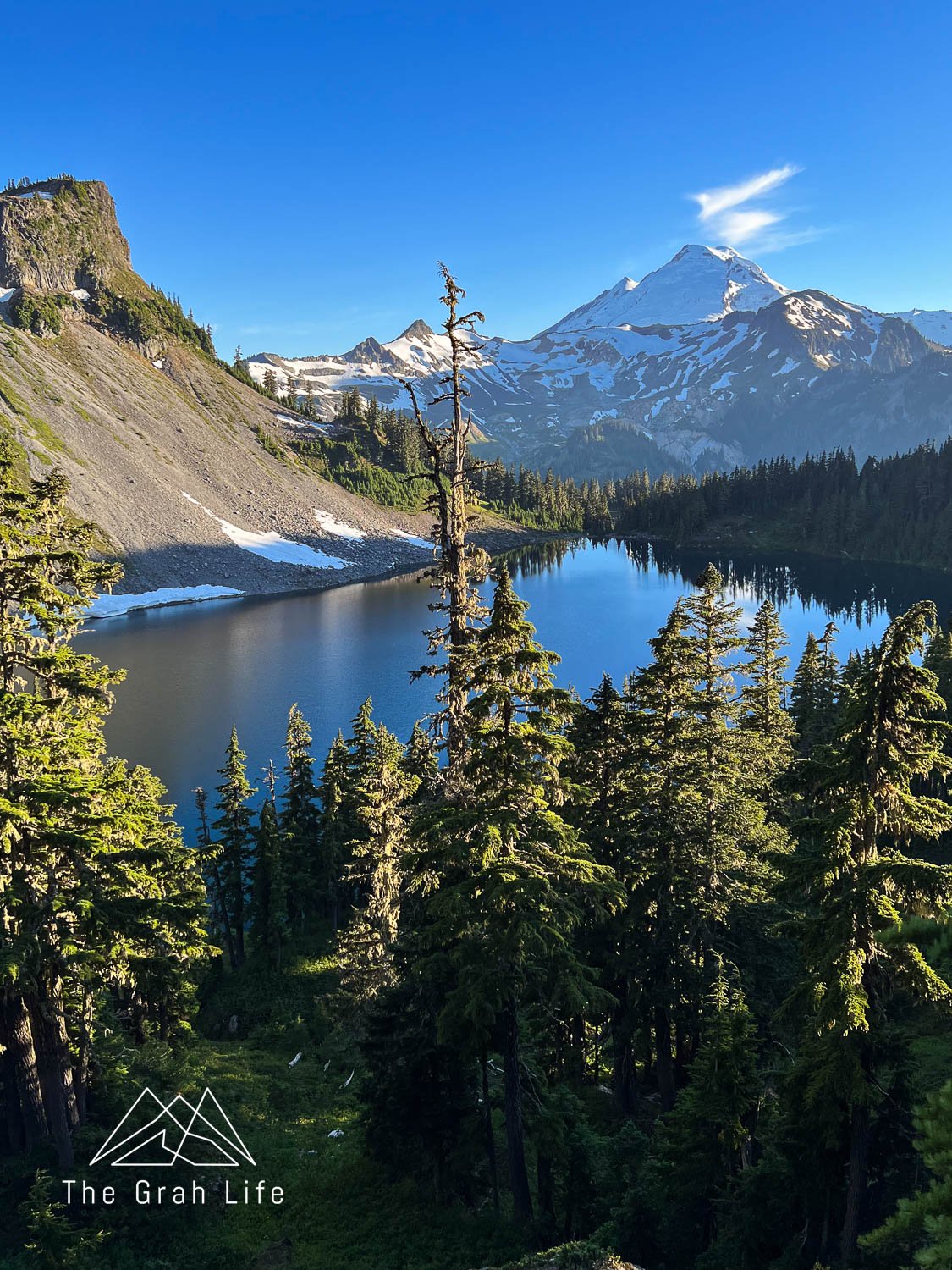
Start your hike at the Artist Point Trailhead and hike clockwise. You’ll find the start of the trail at the opposite side of the bathrooms, closest to Table Mountain. From there, you’ll hike 2 miles and reach Mazama Lakes with four campsites at it. If you’d like to keep going, you’ll see Iceberg Lake within five minutes, although there is no camping here, and soon after, the very popular, Hayes Lake.
Backpacking is so popular here that you should arrive early on Friday to get a spot over the weekend or go during the week. Consider making this loop trail an out-and-back if you’d rather avoid lots of elevation loss and gain between Herman Saddle and Artist Point.
Trail description: Washington Trails/Alltrails
Distance: 4-6.4 miles roundtrip
Elevation gain: 450-1820 feet
Best season: Late June to September
Parking Pass needed: Northwest Forest Pass or the America the Beautiful
Backcountry permits: No permit necessary.
Dogs allowed on a leash: Yes
Food storage: Use a bear vault or hang your food.
Campsites: Camp in designated campsites, marked with posts at Mazama and Hayes Lakes.
Water source: Your water sources will be near the campsites at Mazama, Hayes and Iceberg Lakes.
Toilets: There are pit toilets at the Artist Point and Heather Meadows parking lots, as well as at Mazama Lake, around Hayes Lakes, between Iceberg and Hayes Lakes at the Galena Camp junction.
Campfire information: There are no fires allowed, except in self-contained, carry-in stoves.
Winchester Fire Lookout
If you can brave the forest road here, you’ll have earned your views! A high-clearance vehicle is required, but without one you can park on the shoulder just past the Yellow Aster Butte trailhead and add an additional 2.5 miles each way. If you can make it to the trailhead, the trail is short and steep.
The lookout is open to the public and accepts donations. Sleeping in it is first-come, first-served, and it’s not uncommon to share it. If you do sleep in the fire lookout, just like anywhere else, be sure to clean up after yourself.
Trail description: Washington Trails/Alltrails
Distance: 3.4 miles roundtrip
Elevation gain: 1,300 feet
Best season: June to October
Parking Pass needed: Northwest Forest Pass or the America the Beautiful
Backcountry permits: No permit necessary.
Dogs allowed on a leash: Yes
Food storage: Use a bear vault or hang your food.
Campsites: Camp in the lookout, or at one of the four sites around the summit.
Water source: There is no water source — pack in all the water you’ll need, and we recommend leaving extra in your car.
Toilets: There is a pit toilet at the Winchester Mountain Trailhead, pack everything out on the trail, including solid human waste.
Campfire information: There are no fires allowed, except in self-contained, carry-in stoves.
Mount Rainier
Greenwater Lake
It’s an easy two miles to reach Greenwater Lake, although Washington Trails Association says it’s more like a widening in the river than a lake. Wander small trails near the lake to find a few campsites, or if you’re feeling up for traversing some steep switchbacks, head to Echo Lake Basin 6.6 miles into the trail. Take the spur trail to Echo Lake and you’ll find campsites on the south end of the lake. It’s an especially beautiful spot in fall when the vine maples turn in early October.
Trail description: Washington Trails/Alltrails
Distance: 4-14 miles roundtrip
Elevation gain: 310-1,900 feet
Best season: Late June to October
Parking Pass needed: Northwest Forest Pass or the America the Beautiful
Backcountry permits: No permit necessary.
Dogs allowed on a leash: Yes
Food storage: Use a bear vault or hang your food.
Campsites: You’ll find campsites on the south sides of Greenwater and Echo Lakes
Water source: You’ll have access to the lakes and Greenwater River at each lake
Toilets: There is a privy at the trailhead, but none along the trail
Campfire information: Campfires are allowed in preexisting fire pits, unless there is a fire ban.
Summit Lake
The trailhead to Summit Lake is filled with sharp shale rocks. If you can make it through that, you’re in for a treat. Camp at Summit Lake and wander up Summit Lake Peak for stunning views of Mount Rainier on a clear day.
Bonus — this hike made it on our list for Mount Rainier’s best hikes!
Trail description: Washington Trails/Alltrails
Distance: 6.1 miles roundtrip
Elevation gain: 1,300 feet
Best season: May to October
Parking Pass needed: Northwest Forest Pass or the America the Beautiful
Backcountry permits: No permit needed.
Dogs allowed on a leash: Yes
Food storage: Use a bear vault or hang your food.
Campsites: Find campsites along the northeast and south sides of the lake, as well as on the top of Summit Lake Peak.
Water source: Summit Lake will be your only water source.
Toilets: There is a box toilet amongst campsites at Summit Lake.
Campfire information: Campfires are prohibited.
Sunrise Walk in Camp
This campsite is only 1.3 miles away from the Sunrise Visitor Center, off the Wonderland Trail. The campsites are nicely spaced apart, near Shadow Lake, and a short walk away from the Sunrise Rim Viewpoint. From here, Third Burroughs or Mount Fremont would make for great day hikes.
Trail description: Washington Trails/Alltrails
Distance: 2.6 miles roundtrip
Elevation gain: 288 feet
Best season: June to September
Parking Pass needed: America the Beautiful or Mount Rainier National Park Pass
Backcountry permits: Reserve your permit here. Click on the “White River Area Camps” section and the Sunrise Camp or Sunrise Camp (Group Site).
Dogs allowed on a leash: No
Food storage: Use the shared bear vaults in place at camp, bring your own bear vault, or hang food between trees.
Campsites: You’ll find campsites on the Shadow Lake spur trail, off the Wonderland Trail.
Water source: Shadow Lake, next to the campsites, will be your source of water.
Toilets: There is one pit toilet.
Campfire information: No fires allowed.
Eastern Washington
Mount Lillian
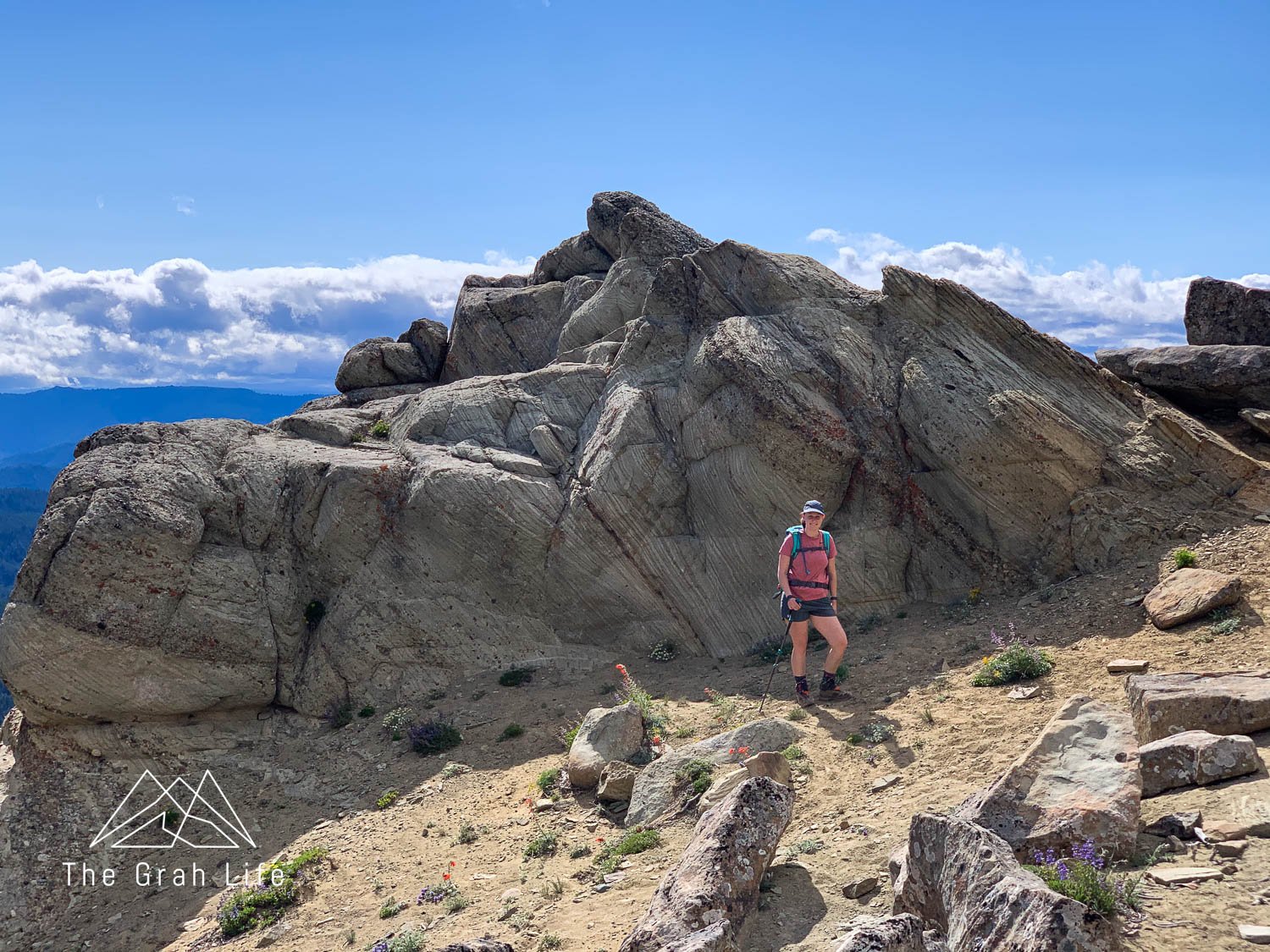
Park at the Ken Wilcox Campground and you’ll find the trail to Mount Lillian. Hike through burned forest to a ridgeline covered in wildflowers throughout summer. From here, the trail is completely exposed and since it’s on the eastern side of the mountains, it gets much hotter here than on the west side. You’ll be at the end of the trail when you see large sandstone rock formations, and on a clear day, views of Mount Rainier and surrounding Cascade Mountains.
Trail description: Washington Trails/Alltrails
Distance: 4.1 miles roundtrip
Elevation gain: 1,100 feet
Best season: July to early October
Parking Pass needed: Northwest Forest Pass or the America the Beautiful
Backcountry permits: No permit needed.
Dogs allowed on a leash: Yes
Food storage: We suggest using a bear vault here rather than trying to hang food between burned trees.
Campsites: There are spaces to camp at the end of the trail between sandstone formations.
Water source: There is no water source here. Bring all the water you’ll need.
Toilets: There is a pit toilet at the Ken Wilcox Campground.
Campfire information: Campfires are permitted in preexisting fire rings if there isn’t a fire ban.
Ancient lakes trail
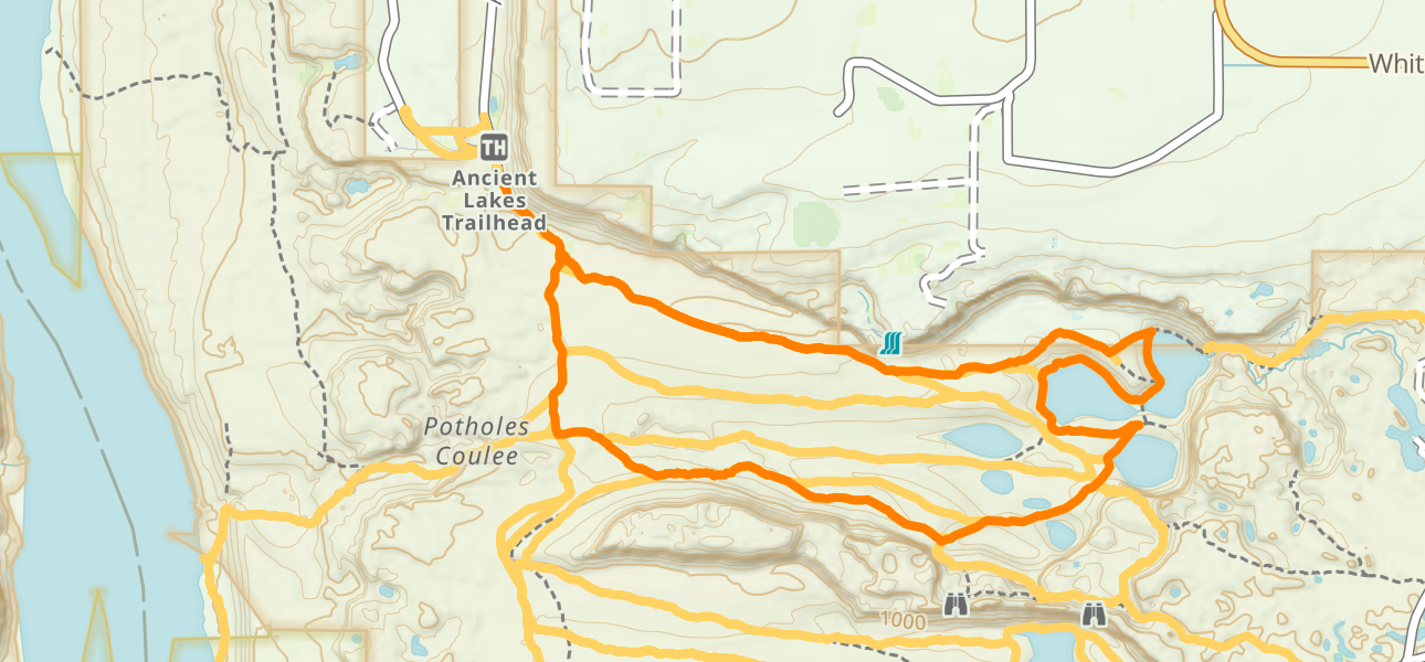
Spring is the favored time to camp here, as it’s warmer and drier than western Washington, but not scorching hot yet. Start your hike at the Ancient Lakes Lower Trailhead. You’ll find plenty of campsites along the Ancient Lakes Trail, but Head to Dusty Lake if you’d like more privacy. Keep an eye out for snakes and ticks.
Trail description: Washington Trails/Alltrails
Distance: 4 miles roundtrip
Elevation gain: 500 feet
Best season: March to September
Parking Pass needed: Discover Pass required
Backcountry permits: No permit needed.
Dogs allowed on a leash: Yes
Food storage: Use a bear vault here — there aren’t many trees to hang food.
Campsites: Camp in preexisting sites near the lakes.
Water source: The water here is not safe for humans or pets to drink. Pack in all the water you’ll need.
Toilets: There are pit toilets at the larger trailheads.
Campfire information: Fires are allowed in established campsites, unless there is a burn ban.
Search the blog for more adventures! Try searching for topics such as “hiking”, “road trip”, or “Washington”.

